")
Gamaya accelerates the transition to smart, sustainable sugarcane production that is resilient to the urgent impacts of climate change.
Our crop-specific models and AI-powered data analytics platform helps customers across the sugarcane value chain improve operational efficiencies, boost yields, and enable carbon removal at scale.
Say goodbye to empty promises – we’re on a mission to become the most trusted partner in agriculture, delivering profitable and responsible data-driven agronomic intelligence.
Let's sweeten sugarcane's future together. Join us now!
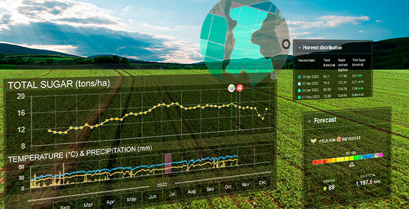
Precise, contextual, actionable insights
 Know more
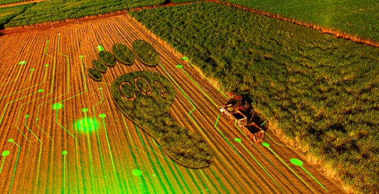

Take sugarcane sustainability to the next level!
Why this excites us?
![]()
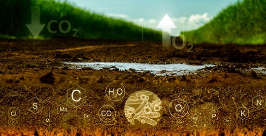
The vast carbon sequestration potential of this globally traded tropical crop, which is championing sustainable agriculture and experiencing growing demand driven by the bioeconomy.
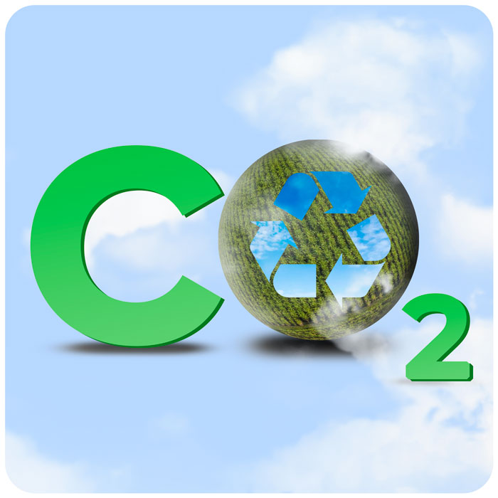
We are unleashing the carbon market opportunity to growers and value chain players across millions of hectares in Brazil, India, Southern Africa, and United States – and we’re just getting started!

We have been training and testing our AI platform for more than a decade with sugarcane, giving us a leading edge and deep understanding of this crop’s specific needs in various contexts all over the world.
Take sugarcane sustainability to the next level!
Why this excites us?
![]()
The vast carbon sequestration potential of this globally traded tropical crop, which is championing sustainable agriculture and experiencing growing demand driven by the bioeconomy.
We are unleashing the carbon market opportunity to growers and value chain players across millions of hectares in Brazil, India, Southern Africa, and United States – and we’re just getting started!
We have been training and testing our AI platform for more than a decade with sugarcane, giving us a leading edge and deep understanding of this crop’s specific needs in various contexts all over the world.
700M
CO2 removal potential in sugarcane (in next 10 years)
75M+
CO2 removal potential with current customers
10+
Of R&D and testing across 5 countries
700M
CO2 removal potential in sugarcane (in next 10 years)
75m+
CO2 removal potential with current customers
10+
of R&D and testing across 5 countries
Innovation for today and tomorrow
Our platform tailors technology to agriculture, targeting AI, remote sensing, and agronomic modeling to the specificities of sugarcane production and processing.
Remote Sensing
Artificial Inteligence
Agronomic Modeling
Serving our customers across the value chain and delivering tailored solutions to solve current challenges and unlock new opportunities.


Latest Articles
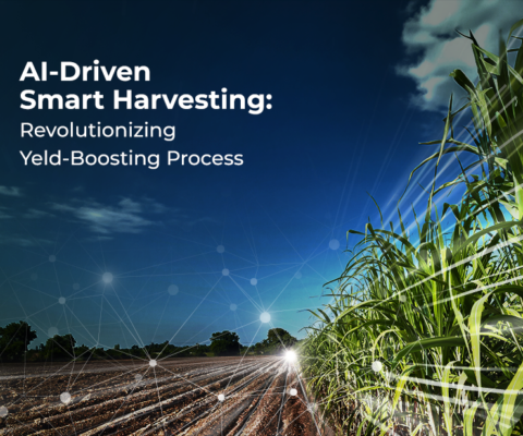
AI-Driven Smart Harvesting: Revolutionizing Yield-Boosting Processes
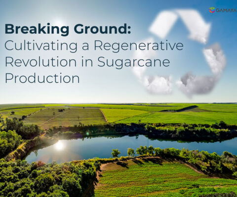
Breaking Ground: Cultivating a Regenerative Revolution in Sugarcane Production
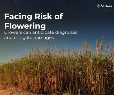
Facing Risk of Flowering, growers can anticipate diagnoses and mitigate damages

Latest Articles
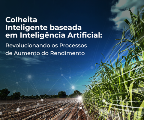
Colheita inteligente baseada em IA: Revolucionando os Processos de Aumento de Rendimento
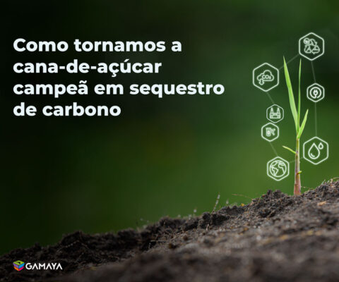
Como tornar a cana-de-açúcar campeã em sequestro de carbono e, ao mesmo tempo, garantir que essa jornada seja a mais lucrativa possível?